Northern St. Louis POTA Saturday
I had a few hours on a Saturday morning to activate two parks in northern St. Louis. Both parks were new to me and one park was on the way to the other.
# Bellefontaine State Conservation Area (US-11329)
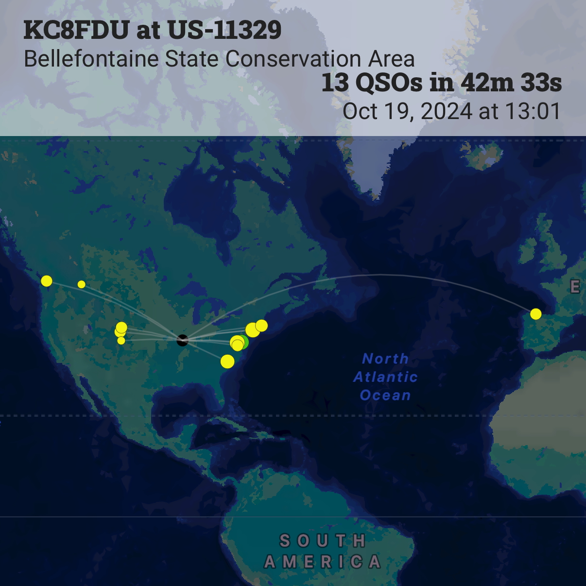
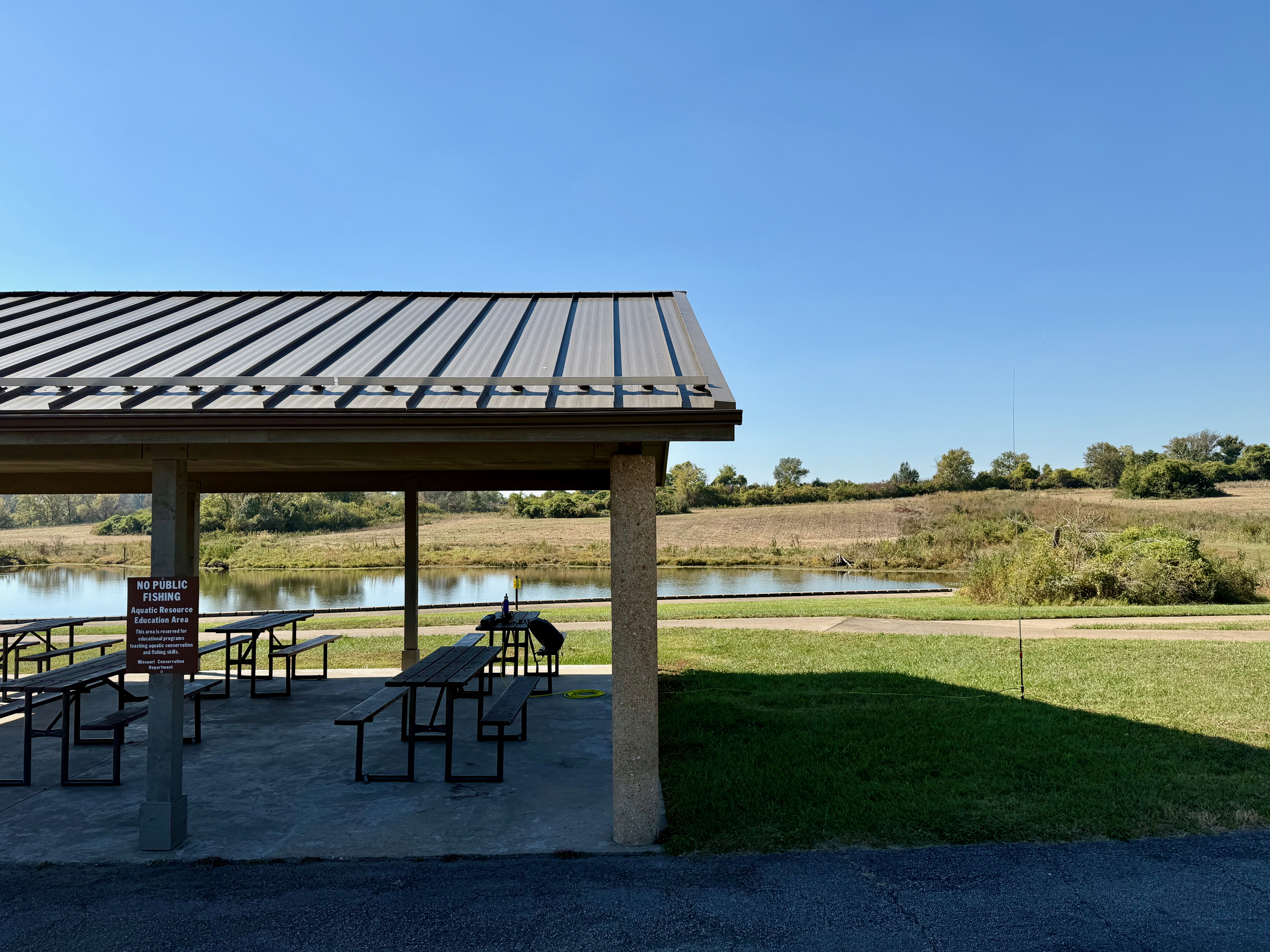
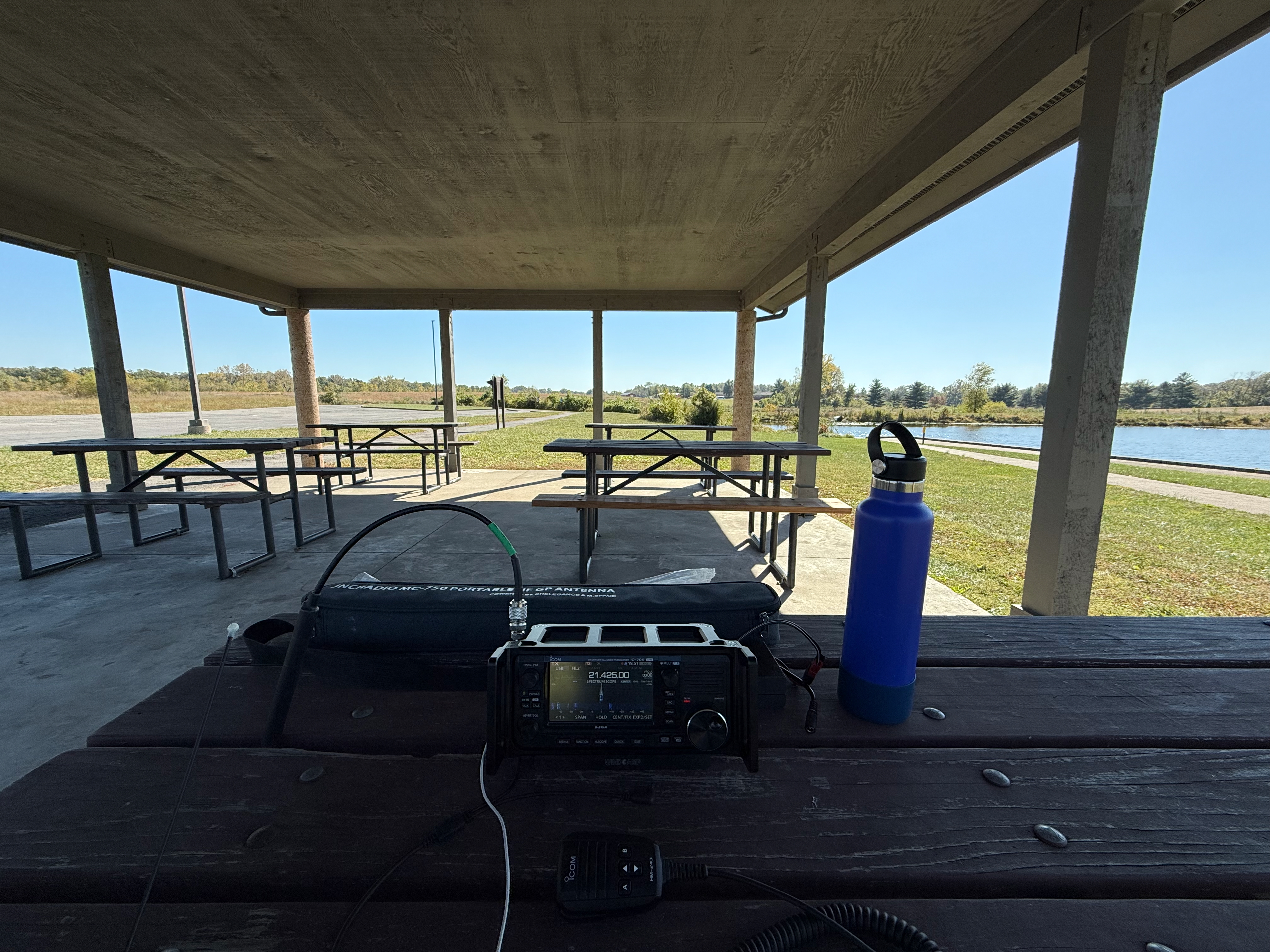
A relatively new park, the Bellefontaine State Conservation Area is about 20 minutes north of downtown St. Louis. The park consists of 133 acres of land that is a mix of grasslands and a few fishing ponds. Most of the fishing ponds are not for public use but instead intended for educational purposes. There are two parking areas, the larger lot closest to the two main ponds has a smallish shelter and a privy building. The smaller parking area is primarily access to a short trail that leads to the third pond. I set up the IC-705 on a picnic table in the shelter with the MC-750 in the grass next to the shelter. There is a sign on the shelter that reads “NO PUBLIC FISHING Aquatic Resource Education Area This area is reserved for educational programs teaching aquatic conservation and fishing skills” but I assume that the shelter is free to use for non-fishing purposes. The park seemed very quiet for a nice Saturday morning, I only saw a few cars during the hour I was there. I started out on 20 meters but the band was very busy and I couldn’t find a frequency to operate on. I think there was at least one QSO party. I switched to 15 meters after hunting another activator and had 13 QSOs in about 45 minutes.
# Jones-Confluence Point State Park (US-1765)
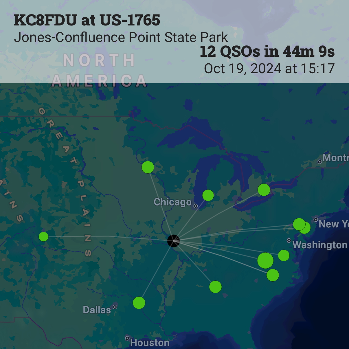
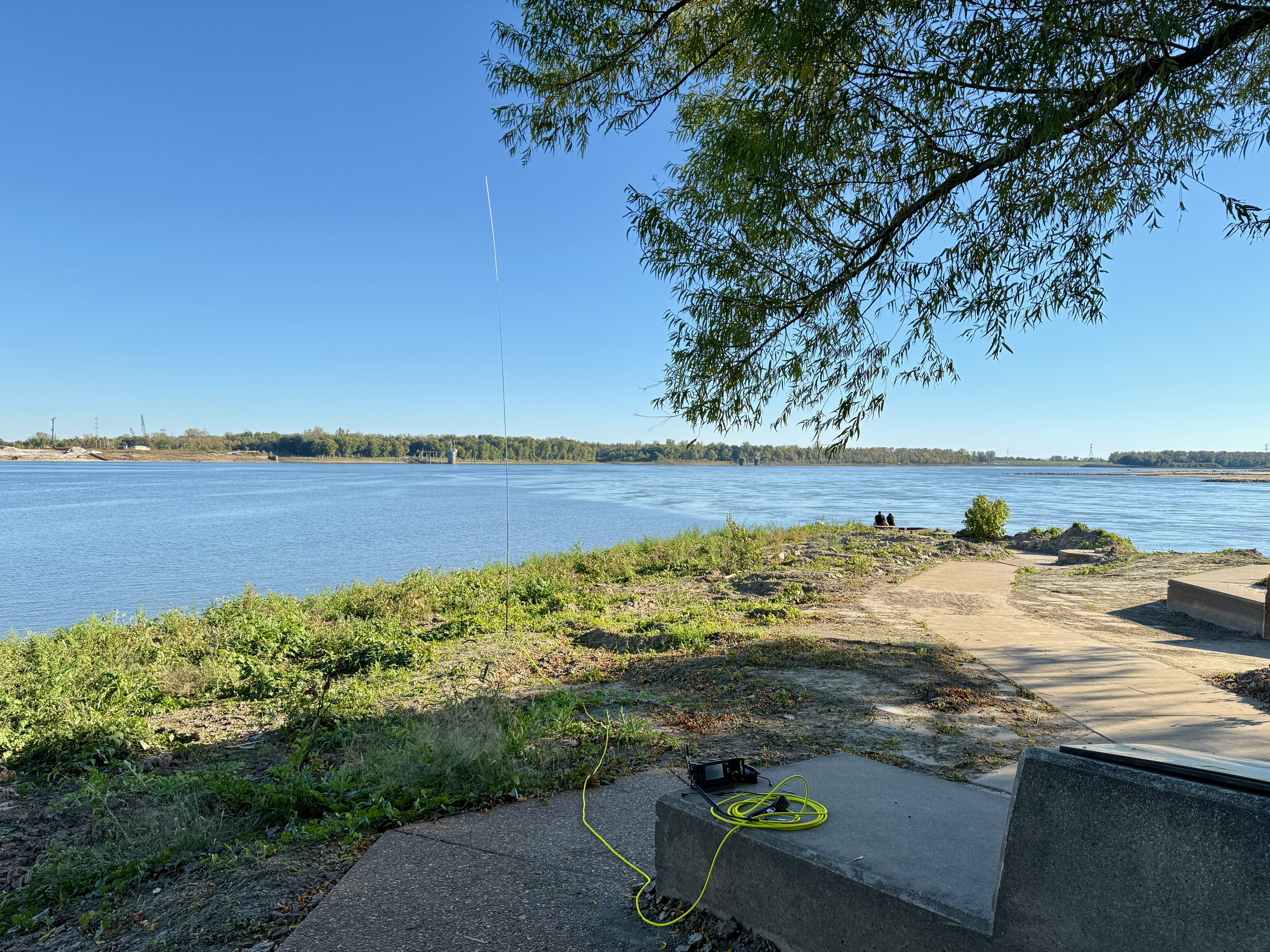
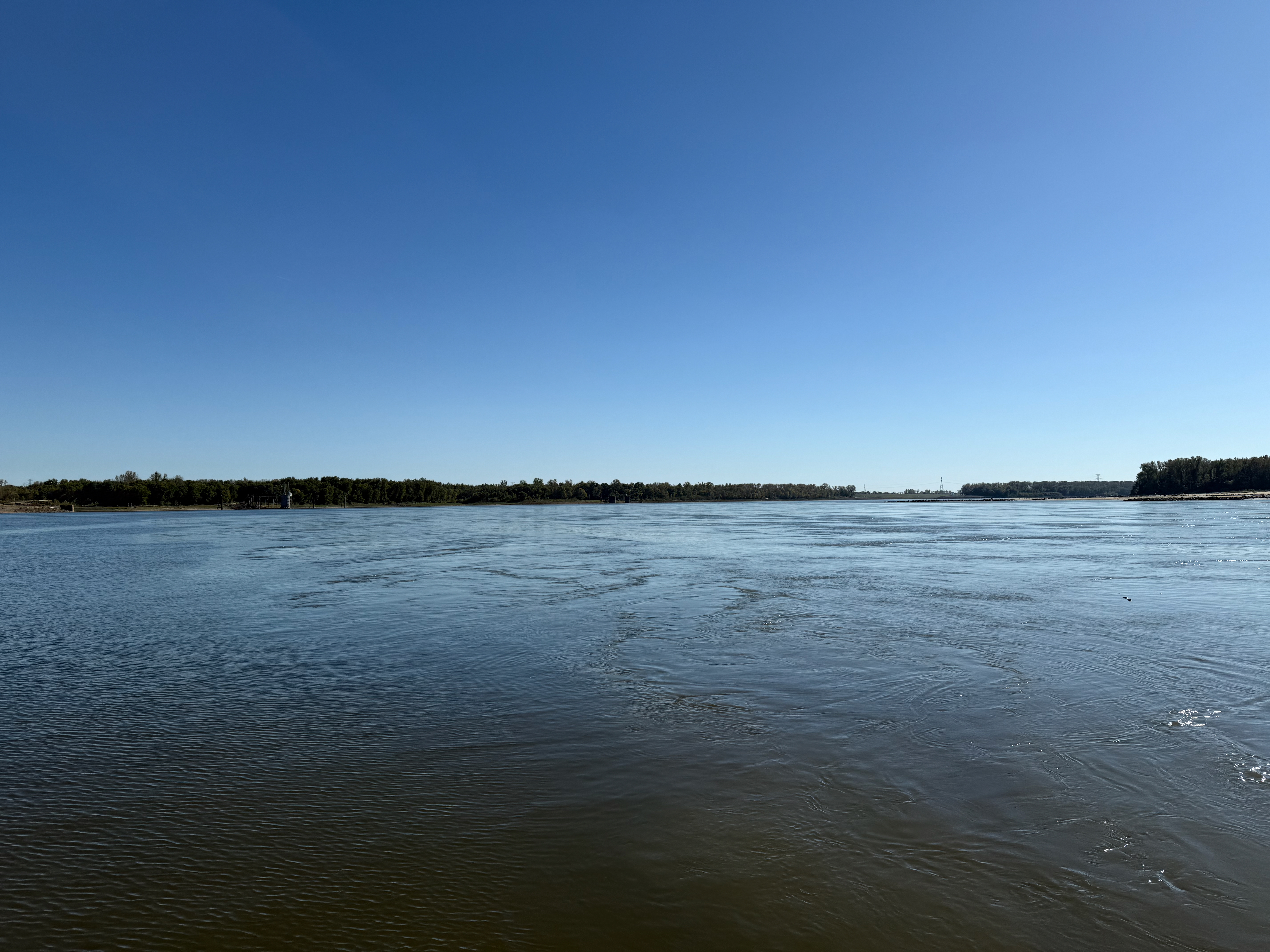
About 20 miles northeast of Bellefontaine is a large, 1121 acre state park that comprises of a few smaller parks, primarily conservation areas. The highlight of the park is the confluence of the Missouri and Mississippi Rivers. There are countless areas in the park to activate from but the spot that seemed the most interesting is the markers at the confluence. The drive into the park starts out on paved roads and turns to gravel for the 4ish mile road to the confluence parking lot. The parking lot has a few picnic tables, a privy, a large educational gazebo area and a few trails, the primary one that leads to the confluence is an easy five mile walk. Once at the confluence there are a few concrete markers and educational signs. The river level was relatively low (-1ft on the gauge) so I was able to set up the MC-750 in the dirt and sit on one of the concrete markers. I operated on 20 meters and made 12 QSOs in about 45 minutes, all on 20 meters SSB.


